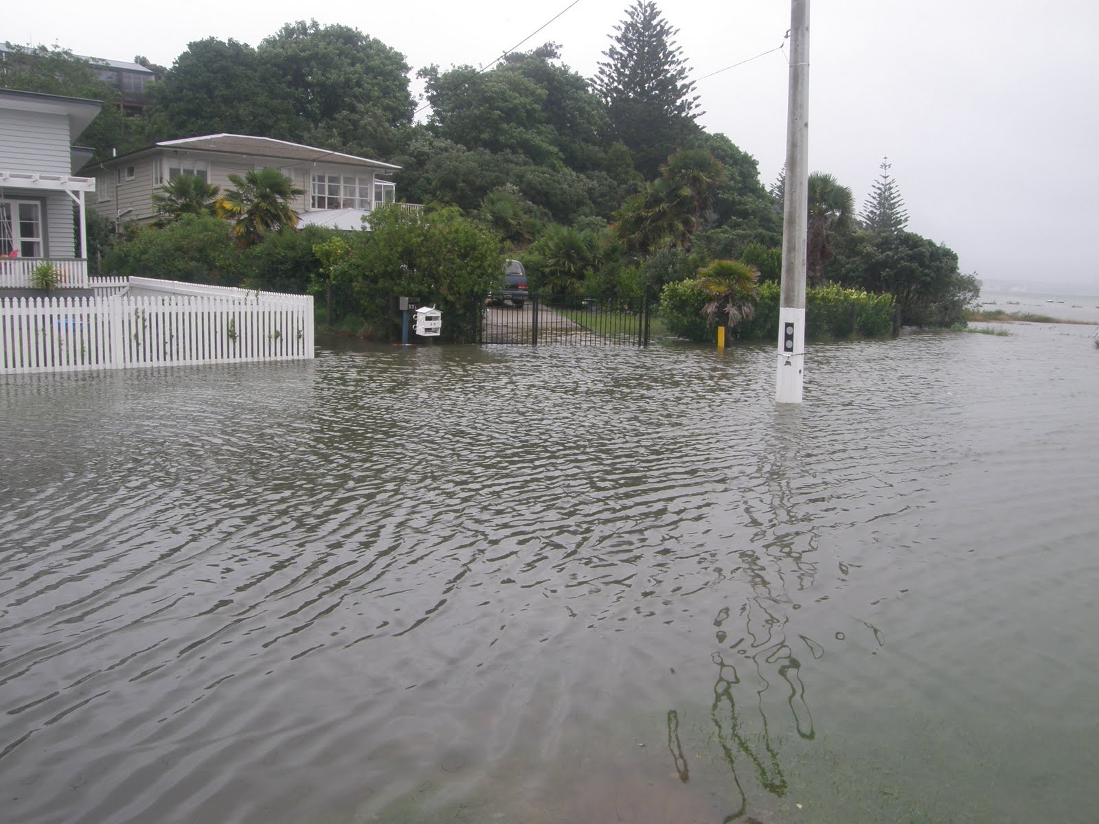
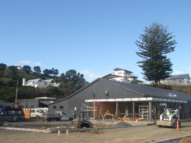
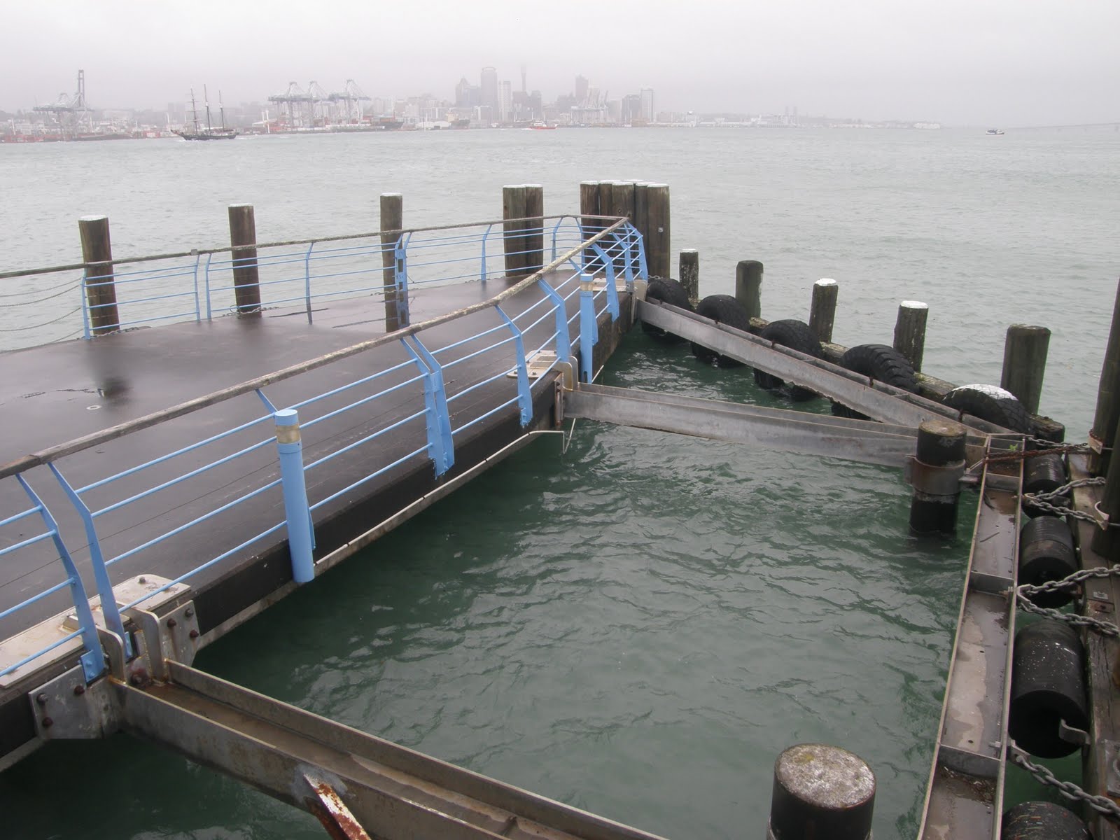
 A few pictures of the village of Devonport....click on an image for an enlargement...


 A few pictures of the village of Devonport....click on an image for an enlargement...
|
Does it matter? Yes it does.... |
|
|
|
|
|
|
If you want to protect Queens Wharf so it can be used as Queens Park (not a cruise ship park), then you need to put in a submission about that too. |
 I thought you'd like this crowd control system in Victoria, Australia. "....The officers and horses are equipped with riot gear to protect them from any indirect projectiles or attempted assaults, as well as reflective tape to aid visibility. Mounted police are often employed in crowd control because of their mobile mass and height advantage...."
 This is a great little story and I am proud to share it with greater Auckland. This is a view of North Head Devonport, from Mt Victoria. You can see the old military base buildings on North Head - now occupied by DOC. Dept of Conservation. This is a great little story and I am proud to share it with greater Auckland. This is a view of North Head Devonport, from Mt Victoria. You can see the old military base buildings on North Head - now occupied by DOC. Dept of Conservation. |
 Looking closer, down by the water, you can see the Navy land at Torpedo Bay. That's the refurbished Torpedo Wharf. Looking closer, down by the water, you can see the Navy land at Torpedo Bay. That's the refurbished Torpedo Wharf. |
 And even closer you can see two shed like buildings on the waterfront, overlooked by residential buildings - many of them heritage villas. And even closer you can see two shed like buildings on the waterfront, overlooked by residential buildings - many of them heritage villas. |
 This is the larger of the two sheds, and will soon open as the Navy Museum. I understand the opening of the museum is sometime in October this year. You can see Mt Victoria in the background. This is the larger of the two sheds, and will soon open as the Navy Museum. I understand the opening of the museum is sometime in October this year. You can see Mt Victoria in the background. |
 The shed has been reclad in corrugated iron, but retains many of its features. The original shed was built over a hundred years ago, and was an important part of the harbour's defences against seaborn invasion. The shed has been reclad in corrugated iron, but retains many of its features. The original shed was built over a hundred years ago, and was an important part of the harbour's defences against seaborn invasion. |
 This view of the shed frontage shows a modern style entry area has been designed for public entry and also to house a sea view cafe. This view of the shed frontage shows a modern style entry area has been designed for public entry and also to house a sea view cafe. |
 The windows are original - old drawings of the original shed showed these windows in this position. A heritage architect was retained by the Navy to get the detail as right as they could for their tight budget of less than $1.5 million for the whole job. The windows are original - old drawings of the original shed showed these windows in this position. A heritage architect was retained by the Navy to get the detail as right as they could for their tight budget of less than $1.5 million for the whole job. |
 Inside the entry is the white reception and interpretation area. The original ironwork supporting the roof is a feature. Inside the entry is the white reception and interpretation area. The original ironwork supporting the roof is a feature. |
The wooden structures are being added later - within the shed envelope - to house the Navy's collection of exhibits and museum displays. |
 Again, this dark space is lined with the original doors that led to the areas where the mines and explosives were stored. Again, this dark space is lined with the original doors that led to the areas where the mines and explosives were stored. |
 There are 3 mine and explosive storage areas. These have the highest historic values I understand, and their restoration will be more detailed and painstaking. You can see on the floor the original rail tracks used for the trollies that carried the mines and their makings into the assembly area. There are 3 mine and explosive storage areas. These have the highest historic values I understand, and their restoration will be more detailed and painstaking. You can see on the floor the original rail tracks used for the trollies that carried the mines and their makings into the assembly area. |
 This picture shows the roof, which is curved, around 2 feet thick of concrete, which was poured into shape and supported by rail-lines structures that you can see in the ceiling. This picture shows the roof, which is curved, around 2 feet thick of concrete, which was poured into shape and supported by rail-lines structures that you can see in the ceiling. |
 The doorways, windows and walls are around 2 feet thick concrete also. Designed to withstand a significant explosion. The doorways, windows and walls are around 2 feet thick concrete also. Designed to withstand a significant explosion. |
 The explosives storage areas fit against the cliff with its coastal pohutakawa. Creating interesting spaces for education and coffee away from the wind. The explosives storage areas fit against the cliff with its coastal pohutakawa. Creating interesting spaces for education and coffee away from the wind. |
 The whole area has many interesting places to sit and explore. Whereever possible the design has incorporated the old and original woodwork and corrugated iron work and concrete. The whole area has many interesting places to sit and explore. Whereever possible the design has incorporated the old and original woodwork and corrugated iron work and concrete. |
 Somehow it all blends into the surrounding Devonport landscape. Somehow it all blends into the surrounding Devonport landscape. |
 And here's the other shed, which sits alongside Torpedo Wharf. And here's the other shed, which sits alongside Torpedo Wharf. |
 It's an old structure too, needed some serious love and attention. It's an old structure too, needed some serious love and attention. |
 It was the Boat Shed at Torpedo Bay. It was the Boat Shed at Torpedo Bay. |
Well done Navy. You've shown Auckland what can be done within a tight budget, working with the Historic Places Trust, to adaptively reuse your old sheds. Fantastic. |
A few pictures of the village of Devonport....click on an image for an enlargement...
|
Does it matter? Yes it does.... |
|
|
|
|
|
|
If you want to protect Queens Wharf so it can be used as Queens Park (not a cruise ship park), then you need to put in a submission about that too. |
I thought you'd like this crowd control system in Victoria, Australia. "....The officers and horses are equipped with riot gear to protect them from any indirect projectiles or attempted assaults, as well as reflective tape to aid visibility. Mounted police are often employed in crowd control because of their mobile mass and height advantage...."| This is a great little story and I am proud to share it with greater Auckland. This is a view of North Head Devonport, from Mt Victoria. You can see the old military base buildings on North Head - now occupied by DOC. Dept of Conservation. |
| Looking closer, down by the water, you can see the Navy land at Torpedo Bay. That's the refurbished Torpedo Wharf. |
| And even closer you can see two shed like buildings on the waterfront, overlooked by residential buildings - many of them heritage villas. |
| This is the larger of the two sheds, and will soon open as the Navy Museum. I understand the opening of the museum is sometime in October this year. You can see Mt Victoria in the background. |
| The shed has been reclad in corrugated iron, but retains many of its features. The original shed was built over a hundred years ago, and was an important part of the harbour's defences against seaborn invasion. |
| This view of the shed frontage shows a modern style entry area has been designed for public entry and also to house a sea view cafe. |
| The windows are original - old drawings of the original shed showed these windows in this position. A heritage architect was retained by the Navy to get the detail as right as they could for their tight budget of less than $1.5 million for the whole job. |
| Inside the entry is the white reception and interpretation area. The original ironwork supporting the roof is a feature. |
The wooden structures are being added later - within the shed envelope - to house the Navy's collection of exhibits and museum displays. |
| Again, this dark space is lined with the original doors that led to the areas where the mines and explosives were stored. |
| There are 3 mine and explosive storage areas. These have the highest historic values I understand, and their restoration will be more detailed and painstaking. You can see on the floor the original rail tracks used for the trollies that carried the mines and their makings into the assembly area. |
| This picture shows the roof, which is curved, around 2 feet thick of concrete, which was poured into shape and supported by rail-lines structures that you can see in the ceiling. |
| The doorways, windows and walls are around 2 feet thick concrete also. Designed to withstand a significant explosion. |
| The explosives storage areas fit against the cliff with its coastal pohutakawa. Creating interesting spaces for education and coffee away from the wind. |
| The whole area has many interesting places to sit and explore. Whereever possible the design has incorporated the old and original woodwork and corrugated iron work and concrete. |
| Somehow it all blends into the surrounding Devonport landscape. |
| And here's the other shed, which sits alongside Torpedo Wharf. |
| It's an old structure too, needed some serious love and attention. |
| It was the Boat Shed at Torpedo Bay. |
Well done Navy. You've shown Auckland what can be done within a tight budget, working with the Historic Places Trust, to adaptively reuse your old sheds. Fantastic. |


