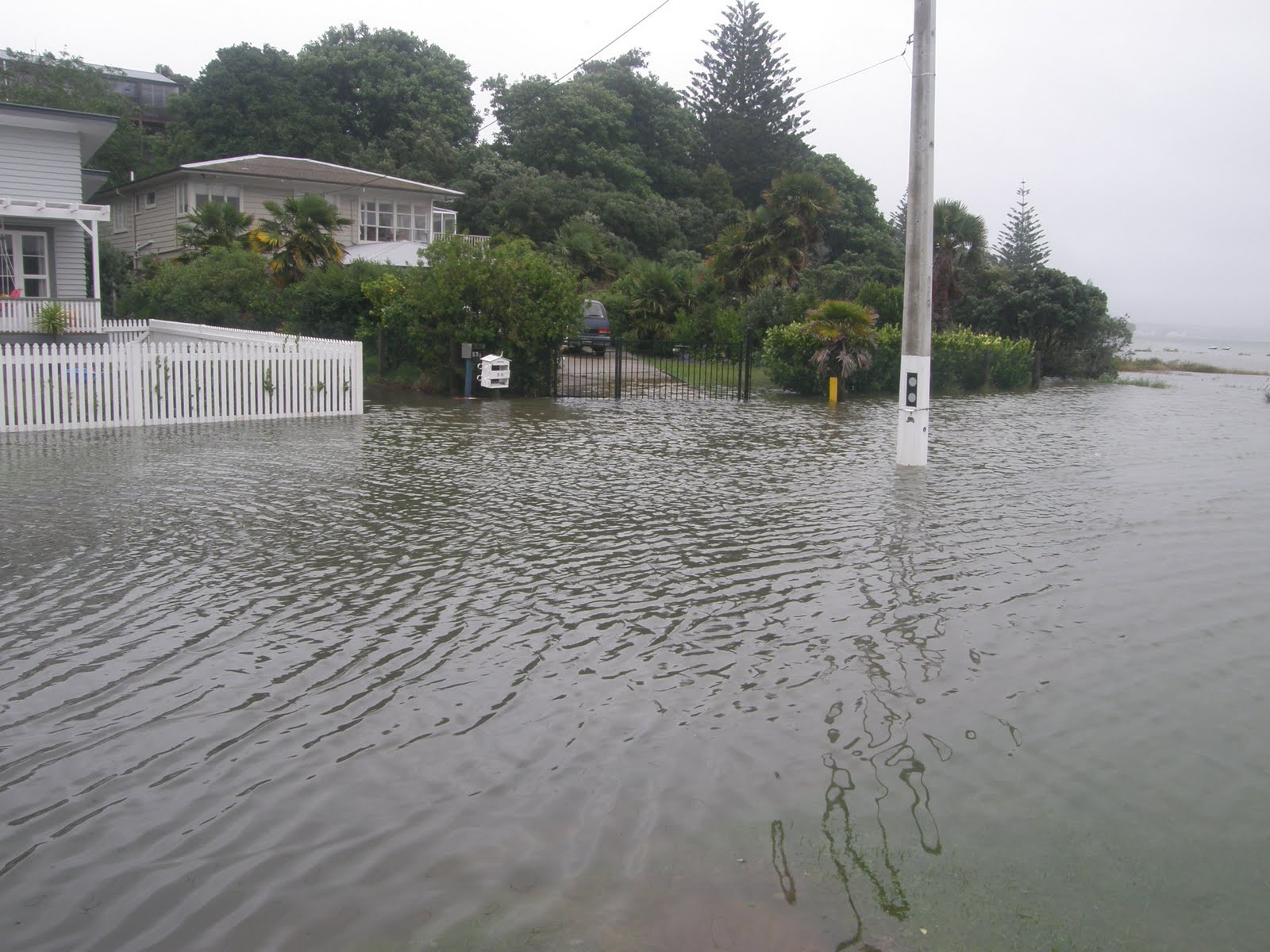
Combination of low pressure system, heavy and steady rain, high tide, on shore winds have caused the type of flooding which Auckland has managed to avoid for many years.
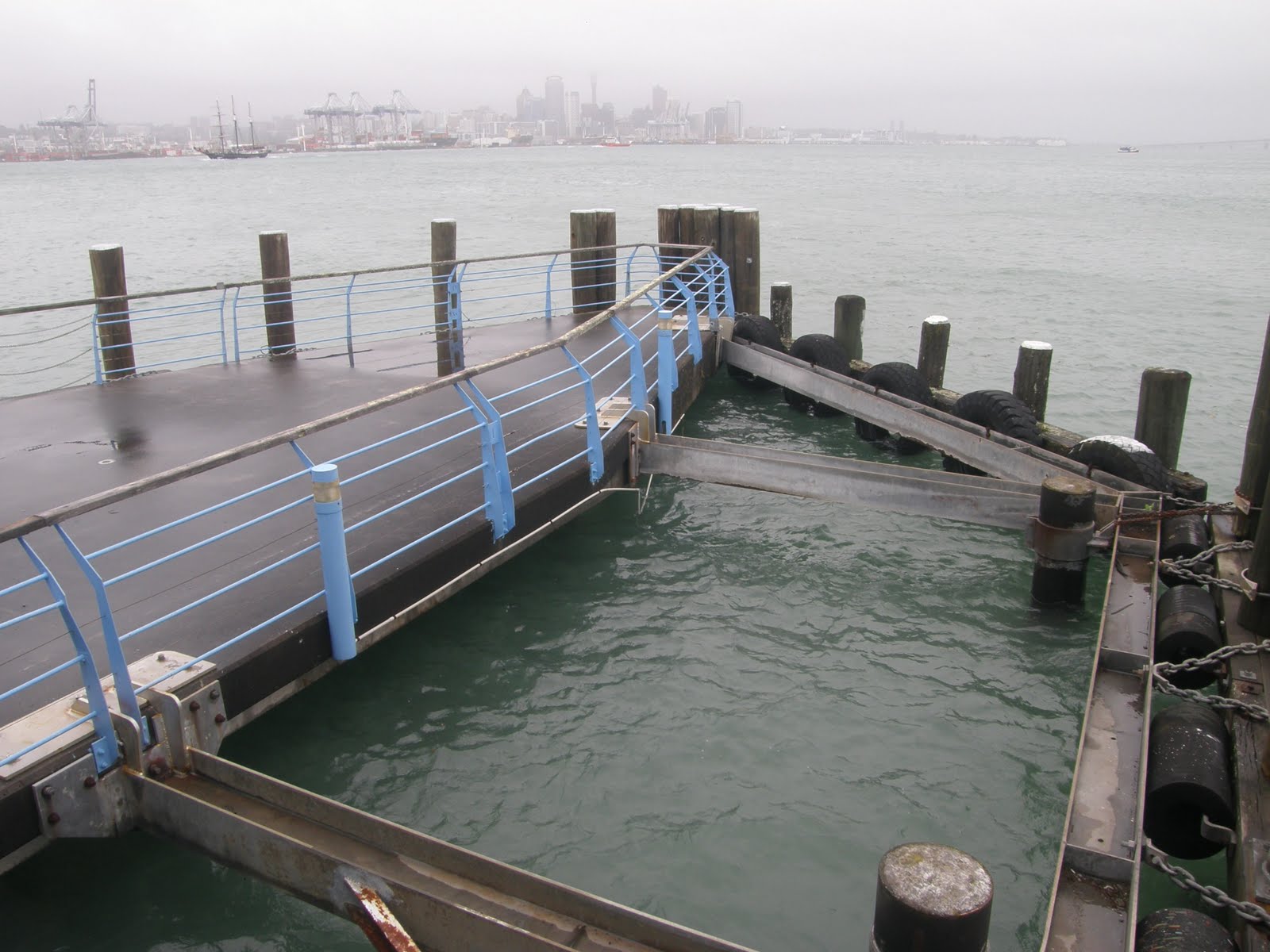
These pics show: the end of Kawerau Road (with Auckland Harbour Bridge in the background; the Navy Nuclear Biological and Chemical Damage Control School (which is located on the Ngataringa Bay reclamation) and some Navy housing in flood; Devonport wharves (showing sea level); and Lake Road at the Seabreeze Road intersection and by the golf club.


